Severe weather is the defining safety concern along this stretch of the Mormon Pioneer National Historic Trail, with Keith County recording 8 tornadoes in the data period alongside 12 hail events and 10 thunderstorm wind incidents. That combination means the open, exposed terrain typical of this trail corridor can turn dangerous quickly, often with little natural shelter nearby. Thunderstorm cells in the Nebraska plains can develop and intensify in under an hour.
Before heading out, download a radar app with county-level storm alerts—such as RadarScope—and check it each morning, since cell service can be spotty once you're on trail. If a storm builds, get off elevated ground immediately and shelter in your vehicle rather than a tent, which offers no protection from hail or tornado-force winds. Pack a hardshell case for electronics and keep hail-rated rain gear accessible at the top of your pack, not buried at the bottom.

Top recorded hazards in Keith County
County dataFrom NOAA Storm Events (2024). Counts of recorded incidents — not all occurred at this park.
- Hail 12
- Thunderstorm Wind 10
- Tornado 8
Gear keyed to this park's risks
Recommendations driven by the actual hazards above. As an Amazon Associate we earn from qualifying purchases.
Own this campground? Get featured.
Premium listing slots for verified owners — show photos, amenity details, and direct booking links above the standard data card. Drop your contact info and we'll reach out.
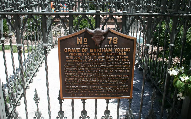
About Mormon Pioneer National Historic Trail
Explore the Mormon Pioneer National Historic Trail across five states to see the 1,300-mile route traveled by Mormons who fled Nauvoo, Illinois, to the Great Salt Lake Valley in 1846-1847.
Weather
Due to the length of the Mormon Pioneer National Historic Trail, be sure to consult local weather sources for the region you'll be visiting. Check out the forecast with the National Weather Service and search for the area you'd like to visit: weather.gov