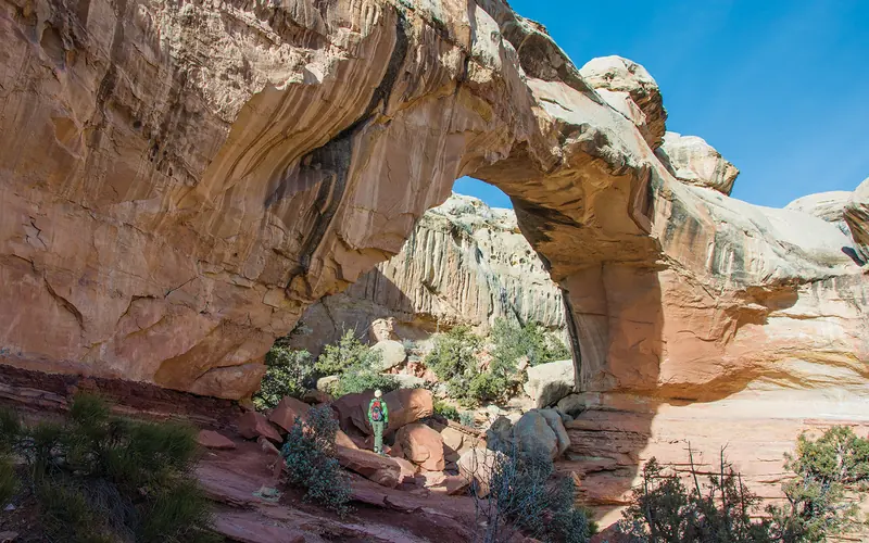
Flash flooding is the standout hazard at Capitol Reef, with 6 recorded flash flood events logged for Wayne County. The park's narrow slot canyons and canyon-bottom campsites funnel storm runoff with little warning, and floodwaters can surge even when skies above you look clear. Storms miles away on the Waterpocket Fold can send a wall of water downstream before you hear a single rumble of thunder.
Before entering any canyon or wash, check the National Weather Service forecast for Wayne County and scan radar for storms within a 50-mile radius — not just directly overhead. Pack a weather radio or download an offline alert app, since cell service is unreliable throughout the park. If you're camped in Fruita or near a wash, identify higher ground in advance and move there at the first sign of rapidly rising water or a distant roaring sound.
Top recorded hazards in Wayne County
County dataFrom NOAA Storm Events (2024). Counts of recorded incidents — not all occurred at this park.
- Flash Flood 6
Gear keyed to this park's risks
Recommendations driven by the actual hazards above. As an Amazon Associate we earn from qualifying purchases.
Own this campground? Get featured.
Premium listing slots for verified owners — show photos, amenity details, and direct booking links above the standard data card. Drop your contact info and we'll reach out.
About Capitol Reef National Park
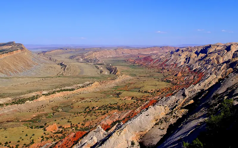
Located in south-central Utah in the heart of red rock country, Capitol Reef National Park is a hidden treasure filled with cliffs, canyons, domes, and bridges in the Waterpocket Fold, a geologic monocline (a wrinkle on the earth) extending almost 100 miles.
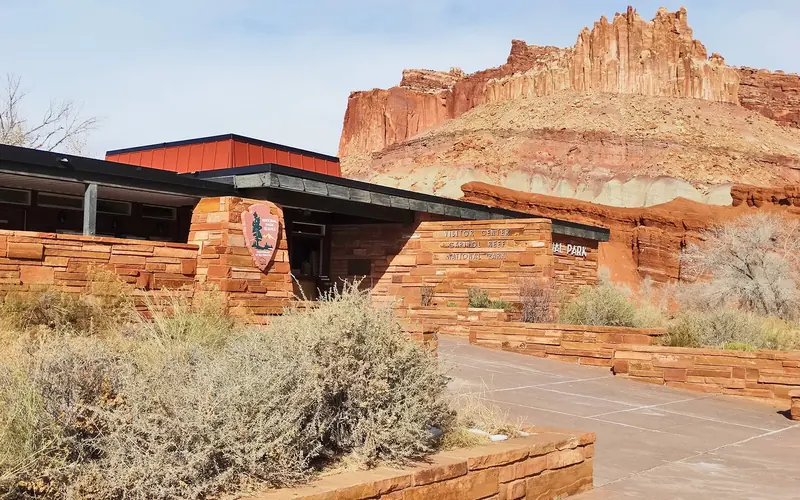
Weather
Weather is posted daily; check at the park visitor center for weather updates. Do not enter into narrow canyons if there is a threat of rain or if rain has been falling in the area. Rain and snow may also make dirt roads impassable to vehicles.