Thunderstorm wind is the standout hazard at Chiricahua National Monument, with 14 recorded events in the county, dwarfing every other weather threat on record. Those storms also triggered 5 flash flood events, making the combination of sudden high winds and fast-moving water the real danger during monsoon season in this canyon-heavy terrain. The monument's rocky spires and narrow drainages give storms very little warning time before conditions turn serious.
When severe thunderstorms roll in — typically mid-afternoon from July through September — get off the hiking trails and away from dry washes immediately, as those channels fill with rushing water faster than most visitors expect. Keep a NOAA weather radio app active and check it each morning before heading out, since cell coverage is unreliable here. Stake tent guylines to full tension each evening and store loose camp gear inside your vehicle before bed, because overnight thunderstorm wind can arrive with almost no lead time.
Top recorded hazards in Cochise County
County dataFrom NOAA Storm Events (2024). Counts of recorded incidents — not all occurred at this park.
- Thunderstorm Wind 14
- Flash Flood 5
- Hail 2
- Tornado 1
Gear keyed to this park's risks
Recommendations driven by the actual hazards above. As an Amazon Associate we earn from qualifying purchases.
Own this campground? Get featured.
Premium listing slots for verified owners — show photos, amenity details, and direct booking links above the standard data card. Drop your contact info and we'll reach out.
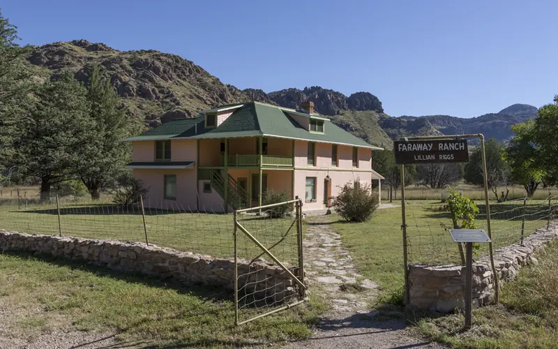
About Chiricahua National Monument
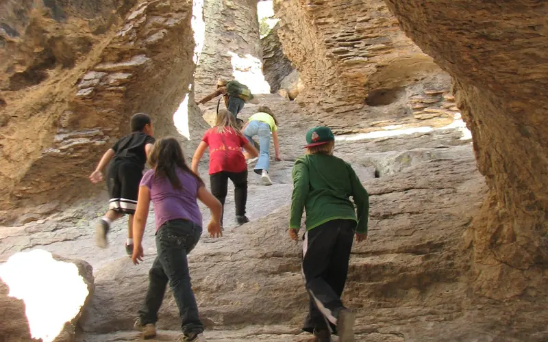
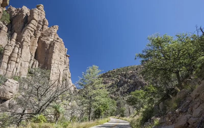
Explore rhyolite pinnacles and balanced rocks on foot or by car. Relax at the campground under star-filled, dark skies. See how a mountain range rising between two deserts creates a home for diverse wildlife. Imagine history here. Prehistoric peoples, Apaches, Buffalo Soldiers, Civilian Conservation Corps, ranchers, and homesteaders inhabited Chiricahua.
Weather
The park elevation goes from 5,124 feet at the entrance to 7,310 feet on Sugarloaf Mountain. The top of the park can be 5-10 degrees cooler and windier than the visitor center and entrance. The higher elevations generally have more sun exposure. Clothing layers are always recommended here. The park is often cooler than cities in Arizona with summer highs in the 80s and 90s. Winter lows are often near or below freezing.