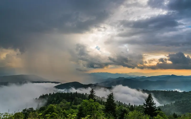
Thunderstorm-driven wind is the dominant hazard along this stretch of the Blue Ridge Parkway, with 7 recorded high-wind events in the county — more than double any other single weather threat in the dataset. These storms arrive fast at ridge elevations, and the same data logs flash floods, debris flows, and hail as secondary hazards, meaning a single storm system can deliver multiple dangers simultaneously. Buncombe County has recorded 37 weather-related deaths tied to this hazard profile, which puts the risk firmly beyond the theoretical.
Before you set up camp, check the NWS Asheville forecast specifically for ridge-level wind and flash-flood watches, not just general mountain weather. Keep a weather radio or a app like RadarScope in your kit so you can track cell movement in real time rather than relying on campground announcements. If a storm builds, move off exposed ridgeline sites to lower, wooded ground and secure or stow anything that can become a projectile in a 60-mph gust.
Top recorded hazards in Buncombe County
County dataFrom NOAA Storm Events (2024). Counts of recorded incidents — not all occurred at this park.
- Thunderstorm Wind 7
- Hail 3
- Flash Flood 3
- Tornado 1
- Debris Flow 1
- Flood 1
Gear keyed to this park's risks
Recommendations driven by the actual hazards above. As an Amazon Associate we earn from qualifying purchases.
Own this campground? Get featured.
Premium listing slots for verified owners — show photos, amenity details, and direct booking links above the standard data card. Drop your contact info and we'll reach out.
About Blue Ridge Parkway
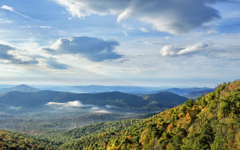
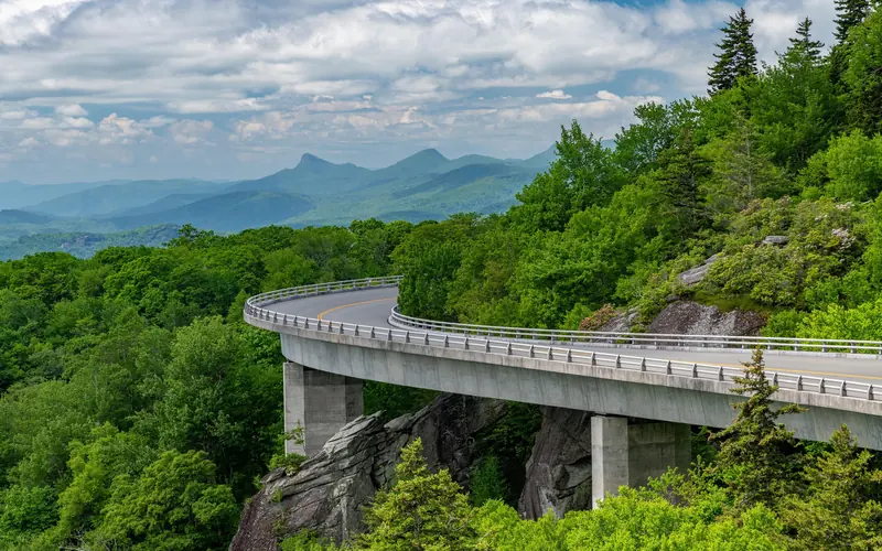
A Blue Ridge Parkway experience is unlike any other: a slow-paced and relaxing drive revealing stunning long-range vistas and close-up views of the rugged mountains and pastoral landscapes of the Appalachian Highlands. The Parkway meanders for 469 miles, protecting a diversity of plants and animals, and providing opportunities for enjoying all that makes this region of the country so special.
Weather
The weather on the parkway can vary widely along its 469-mile route. Precipitation is possible any time of the year. Winter can be cold and snowy, especially at the higher elevations. Spring and fall can have large temperature swings, from near freezing to over 80 degrees Fahrenheit. Summers are hot in the lower elevations, but the highest elevations remain cooler. Summertime thunderstorms are common, so be prepared for weather changes.