The clearest risk at Pipestone National Monument comes from the surrounding county's violent crime rate, recorded at 264.4 incidents per 100,000 residents in 2023 — notably higher than many comparable rural monument areas. While the monument itself is a small, day-use-oriented site, its location within Pipestone County means visitors share the broader community environment, particularly if staying at nearby campgrounds or making evening trips into town.
To reduce exposure, keep valuables out of sight in your vehicle and return to your campsite or RV before dark rather than lingering in adjacent commercial areas. The data also flags 5 flood events in the county, so if you're camping nearby, choose sites on elevated ground and monitor the National Weather Service app for storm alerts — southwestern Minnesota can produce fast-moving thunderstorms that overwhelm low-lying areas with little warning.
Top recorded hazards in Pipestone County
County dataFrom NOAA Storm Events (2024). Counts of recorded incidents — not all occurred at this park.
- Flood 5
- Thunderstorm Wind 1
Gear keyed to this park's risks
Recommendations driven by the actual hazards above. As an Amazon Associate we earn from qualifying purchases.
Own this campground? Get featured.
Premium listing slots for verified owners — show photos, amenity details, and direct booking links above the standard data card. Drop your contact info and we'll reach out.
About Pipestone National Monument
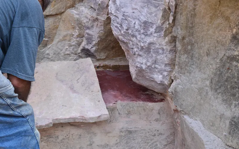
For over 3,000 years, Indigenous people have quarried the red stone at this site to make pipes used in prayer and ceremony - a tradition that continues to this day and makes this site sacred to many people.
Weather
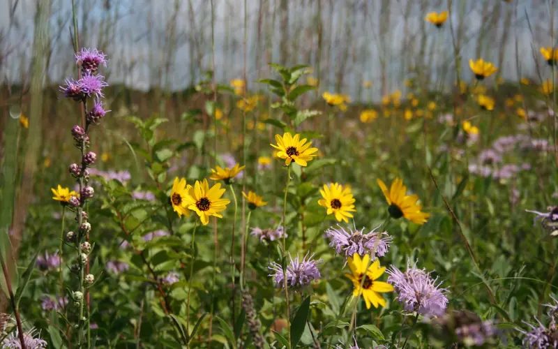
Weather varies seasonally from warm and humid in the summer to cold and snowy in the winter. Visitors should be prepared for seasonal weather and for rapidly-changing conditions.