Pictured Rocks sits in Alger County, where hail is the standout weather threat — 5 recorded hail events in the data period, more than any other hazard type logged here. Thunderstorm wind events (2 recorded) compound the picture, meaning storms rolling off Lake Superior can arrive fast and hit hard with little warning at exposed campsites and clifftop trails.
When a storm builds, get off the lake and any elevated shoreline immediately and move to your vehicle or a hard-sided shelter — tents offer no protection from hail. Pack a hardshell rain jacket with a hood rated for impact (not just waterproofing), and keep it accessible rather than buried in your pack. Check the National Weather Service forecast for Munising specifically before each day's paddle or hike, since lake-effect conditions can diverge sharply from regional forecasts.
Top recorded hazards in Alger County
County dataFrom NOAA Storm Events (2024). Counts of recorded incidents — not all occurred at this park.
- Hail 5
- Thunderstorm Wind 2
- Heavy Rain 1
Gear keyed to this park's risks
Recommendations driven by the actual hazards above. As an Amazon Associate we earn from qualifying purchases.
Own this campground? Get featured.
Premium listing slots for verified owners — show photos, amenity details, and direct booking links above the standard data card. Drop your contact info and we'll reach out.
About Pictured Rocks National Lakeshore
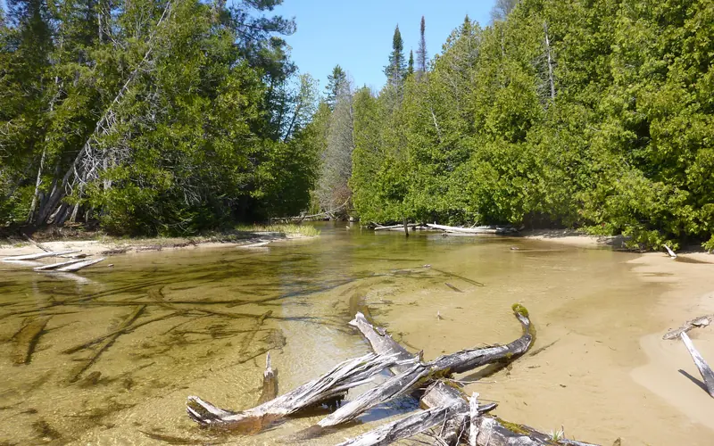
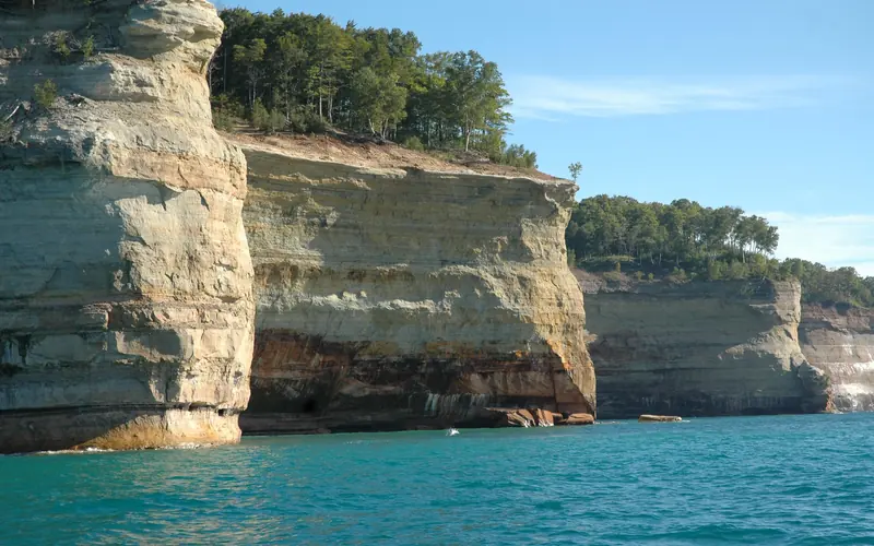
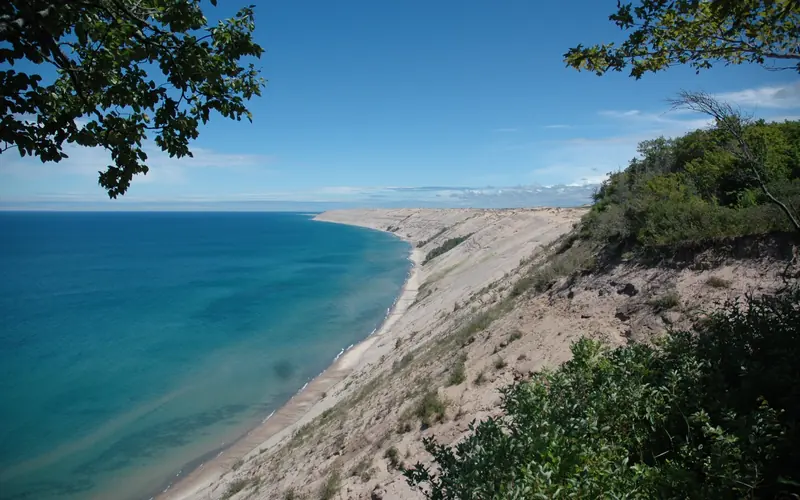
Sandstone cliffs, beaches, waterfalls, sand dunes, inland lakes, deep forest, and wild shoreline beckon you to visit Pictured Rocks National Lakeshore. The power of Lake Superior shapes the park's coastal features and affects every ecosystem, creating a unique landscape to explore. Hiking, camping, sightseeing, and four-season outdoor opportunities abound.
Weather
Summers are pleasant with the average highs in June, July, and August in the 70s°F, and lows in the low 50s°F. The coldest months are December through March with average highs of 25°F to 32°F, and average lows in the teens. Annual precipitation averages 31 inches; average annual snowfall is about 140 inches, although winters with more than 200 inches are not uncommon. Snow generally covers the ground from late November through late April.