The most pressing concern at Palo Alto Battlefield is the surrounding area's violent crime rate, recorded at 416 incidents per 100,000 residents in Cameron County in 2023 — a figure roughly twice the national average. This is a day-use historical site near the busy Brownsville metro corridor, and visitors should treat the surrounding roads and parking areas with the same awareness they'd bring to any urban environment.
When visiting, park in well-lit, populated lots and avoid leaving valuables visible in your vehicle — smash-and-grab theft tracks closely with high violent-crime counties. Since Cameron County also logged 7 flash flood events in recent years, check the National Weather Service forecast before heading out; afternoon storms can flood the low-lying battlefield grounds quickly, so keep rain gear accessible and know your exit route back to higher ground if skies darken.
Top recorded hazards in Cameron County
County dataFrom NOAA Storm Events (2024). Counts of recorded incidents — not all occurred at this park.
- Flash Flood 7
- Flood 3
- Thunderstorm Wind 2
- Tornado 1
- Lightning 1
Gear keyed to this park's risks
Recommendations driven by the actual hazards above. As an Amazon Associate we earn from qualifying purchases.
Own this campground? Get featured.
Premium listing slots for verified owners — show photos, amenity details, and direct booking links above the standard data card. Drop your contact info and we'll reach out.
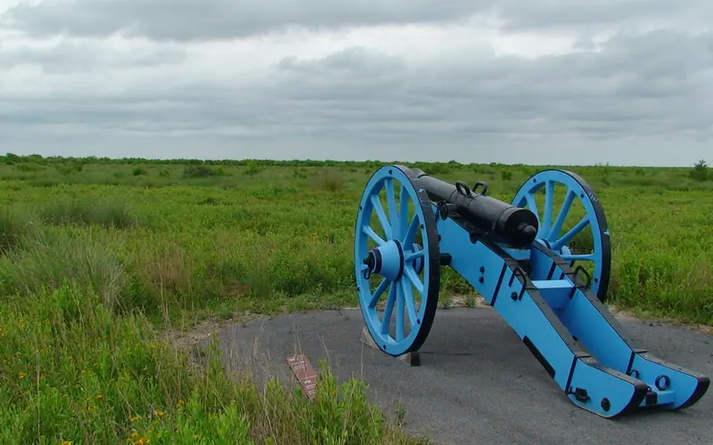
About Palo Alto Battlefield National Historical Park
On May 8, 1846, U.S. and Mexican troops clashed on the prairie of Palo Alto. The battle was the first in a two-year long war that changed the map of North America. Although the two countries have developed strong bonds and friendly ties since the war ended in 1848, these neighbors continue to contend with the legacy of the war.
Weather
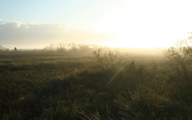
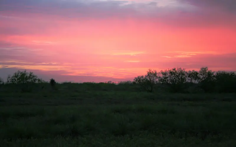
Summers are hot and humid. Tropical weather systems generally affect the area from August to October. Winters are usually mild but cold fronts can drop temperatures by up to 30 degrees in about an hour.