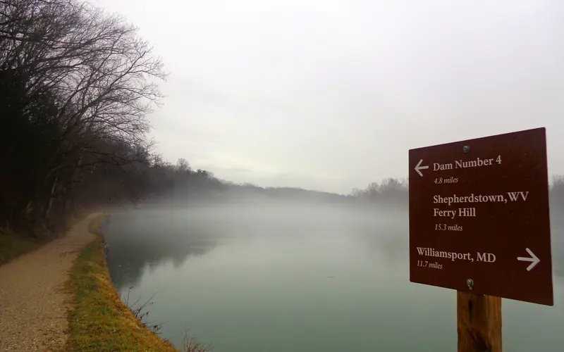
The sharpest risk at the C&O Canal is flooding: Montgomery County recorded 11 combined flood and flash flood events in the hazard period, on top of 17 thunderstorm wind incidents that can drop limbs onto the towpath and campsites without much warning. The park runs alongside the Potomac River for 184.5 miles, meaning water levels can rise quickly after upstream storms even when skies look clear overhead.
Before you set up camp, check the NWS river gauge for the Potomac at Point of Rocks and bookmark the park's flood closure alerts on your phone — both update in near real time. Pack a waterproof dry bag for sleeping gear and keep your tent pitched on higher ground well above the canal berm, not in low-lying areas near the water's edge. If a thunderstorm moves in, get off the towpath and away from the tree canopy immediately, as the county logged 2 tornado events and repeated damaging wind episodes in the same period.

Top recorded hazards in Montgomery County
County dataFrom NOAA Storm Events (2024). Counts of recorded incidents — not all occurred at this park.
- Thunderstorm Wind 17
- Flood 6
- Flash Flood 5
- Hail 4
- Lightning 2
- Tornado 2
Gear keyed to this park's risks
Recommendations driven by the actual hazards above. As an Amazon Associate we earn from qualifying purchases.
Own this campground? Get featured.
Premium listing slots for verified owners — show photos, amenity details, and direct booking links above the standard data card. Drop your contact info and we'll reach out.
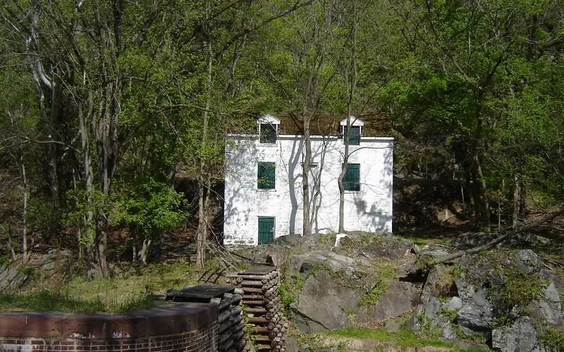
About Chesapeake & Ohio Canal National Historical Park
Preserving America's early transportation history, the C&O Canal began as a dream of passage to Western wealth. Operating for nearly 100 years the canal was a lifeline for communities along the Potomac River as coal, lumber, and agricultural products floated down the waterway to market. Today it endures as a pathway for discovering historical, natural, and recreational treasures.
Weather
The Washington, DC, area has a four-season Mid-Atlantic climate. Summertime is warm and humid, while winter can be cold and snowy. Precipitation averages 2-4” monthly, year-round. The climate gradually gets cooler and wetter further west along the canal where the elevation is higher.